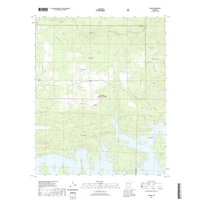
2020 Map of Fannie
USGS Topo · Published 2020About this map
Lake Ouachita defines the southern reaches of this landscape, its complex, finger-like shoreline reaching into the valleys of the Ouachita National Forest. The map centers on the small settlements of Fannie and Liberty, situated where the northern mountains transition into the lake's watershed. This terrain is characterized by prominent ridges such as Sandlick Mtn and Reed Mountain, with numerous creeks including Irons Fork and Muddy Creek draining toward the reservoir. Local family history is rooted in several small burial grounds scattered across the area, specifically Lee Cem, Breashears Cem, and Oakwood Cem. The presence of the Ouachita National Recreation Trail and named forest roads like Whippoorwill Rd and Red Ridge Rd highlights the area's modern identity as a managed wilderness and recreational hub at the borders of Montgomery, Yell, and Garland Counties.
Find a feature on this map
37 named features on this map. Tap any name to fly to it.
Don’t see what you’re looking for? This feature index may not catch every label — zoom into the map to look around manually.
Map Details
Editions of this 2020 Fannie Map
This is the sole edition of this map. No revisions or reprints were ever made.
Other maps of this area

1890 · Mount Ida
USGS Topo · 1:125,000

1890 · Hot Springs
USGS Topo · 1:125,000

1894 · Hot Springs
USGS Topo · 1:125,000

1955 · Little Rock
USGS Topo · 1:250,000

1956 · Little Rock
USGS Topo · 1:250,000

1959 · Mount Ida
USGS Topo · 1:62,500

1960 · Little Rock
USGS Topo · 1:250,000

1960 · Gravelly
USGS Topo · 1:62,500

1962 · Crystal Springs
USGS Topo · 1:24,000

1962 · Avant
USGS Topo · 1:24,000