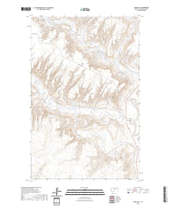
2024 Map of Fanny Hill
USGS Topo · Published 2024About this map
The Milk River defines the eastern edge of this northern Montana landscape, where the prairie transitions into a series of drainages and topographical rises. Central to this area is Fanny Hill, a prominent elevation that overlooks a network of seasonal watercourses including Cottonwood Creek and Little Cottonwood Creek. The township and range lines of the Public Land Survey System structure the geography, revealing the rectangular grid of local transport routes like Fanning Hill Rd and Cottonwood Rd. This contemporary survey illustrates a sparsely populated region of Phillips County, where the topography is dominated by erosion-carved features such as Austin Coulee. The presence of U.S. Route 191 provides the primary north-south artery through the river valley, connecting this high plains environment to the broader state infrastructure.
Find a feature on this map
13 named features on this map. Tap any name to fly to it.
Don’t see what you’re looking for? This feature index may not catch every label — zoom into the map to look around manually.
Map Details
Editions of this 2024 Fanny Hill Map
This is the sole edition of this map. No revisions or reprints were ever made.
Other maps of this area

1905 · Bowdoin
USGS Topo · 1:62,500

1920 · Cowan
USGS Topo · 1:125,000

1954 · Glasgow
USGS Topo · 1:250,000

1957 · Glasgow
USGS Topo · 1:250,000

1958 · Glasgow
USGS Topo · 1:250,000
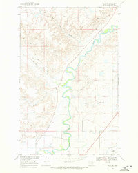
1968 · Malta NE
USGS Topo · 1:24,000

1968 · Austin Lake
USGS Topo · 1:24,000

1968 · Hewitt Lake SW
USGS Topo · 1:24,000
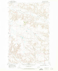
1968 · Malta NW
USGS Topo · 1:24,000
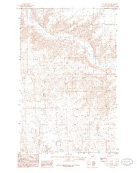
1984 · Garland Creek
USGS Topo · 1:24,000