
1895 Map of Fargo
USGS Topo · Published 1954About this map
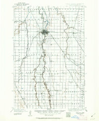
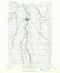
The Red River of the North serves as the central artery and state boundary in this late nineteenth-century survey, dividing the developing hub of Fargo, North Dakota, from Moorhead, Minnesota. The landscape is defined by the heavy presence of competing rail lines, including the Northern Pacific (Main Line) and the Great Northern, which facilitated the rapid growth of agricultural prairie settlements. Beyond the primary cities, numerous smaller stations and communities punctuate the grid, such as Kurtz (Elmer Sta.) and Wild Rice. The intricate meandering of the Wild Rice River and Sheyenne River across the flat river valley illustrates the hydrological complexity of the Red River Basin. This document captures the transition of the region into a major grain-shipping corridor, with township divisions like Kragness and Holy Cross reflecting the early political organization of the Red River Valley.
Find a feature on this map
70 named features on this map. Tap any name to fly to it.
Don’t see what you’re looking for? This feature index may not catch every label — zoom into the map to look around manually.
Map Details
Editions of this 1895 Fargo Map
3 editions found
Other maps of this area

1895 · Casselton
USGS Topo · 1:125,000

1897 · Fargo
USGS Topo · 1:125,000

1897 · Casselton
USGS Topo · 1:125,000

1904 · Wahpeton
USGS Topo · 1:125,000

1907 · Wyndmere
USGS Topo · 1:125,000

1918 · Ulen
USGS Topo · 1:62,500

1919 · Rothsay
USGS Topo · 1:62,500

1919 · Barnesville
USGS Topo · 1:62,500

1919 · Hawley
USGS Topo · 1:62,500

1951 · Rothsay
USGS Topo · 1:62,500