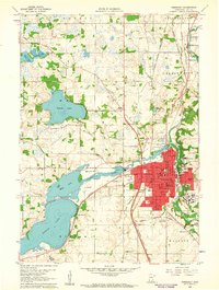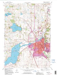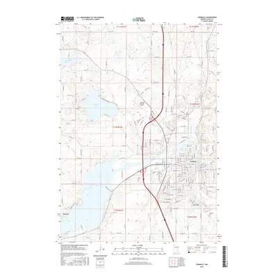
1985 Map of Faribault
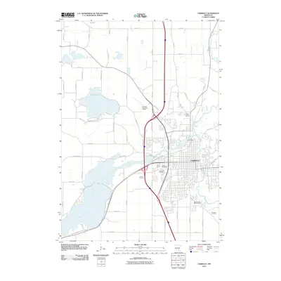
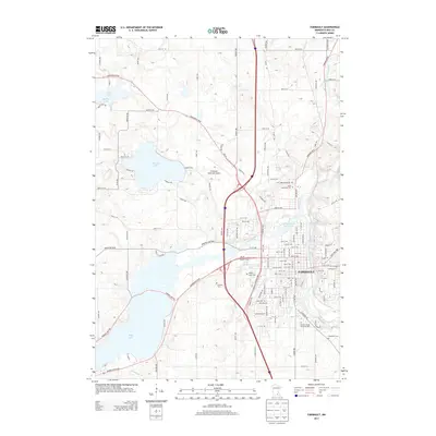
USGS Topo · Published 1990About this map
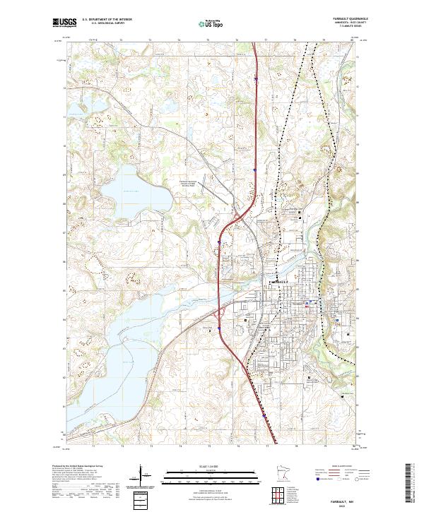
The Minnesota River and Cannon River valleys anchor this mid-1980s view of south-central Minnesota, where the landscape is defined by a dense network of glacial lakes and extensive water management systems. Numerous state wildlife management areas, such as St Thomas State WMA and Diamond Lake State WMA, are scattered across the terrain, reflecting a region deeply committed to conservation and resource management alongside its agricultural and industrial centers. Significant municipal growth is evident in the corridors connecting Northfield, Faribault, and Owatonna.
Find a feature on this map
183 named features on this map. Tap any name to fly to it.
Don’t see what you’re looking for? This feature index may not catch every label — zoom into the map to look around manually.
Map Details
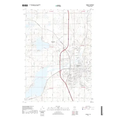
Editions of this 1985 Faribault Map
2 editions found

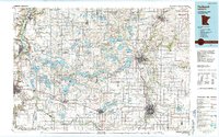
Historical Maps of Mankato Through Time
8 maps found