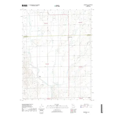
2017 Map of Farmersville
USGS Topo · Published 2017About this map
Farmersville sits near the crossing of the Grundy and Livingston county line, serving as a focal point for a landscape defined by an intricate network of waterways. The Thompson River winds through the western half of the map, carving a wide valley that includes the interestingly named Happy Hollow. To the east, the terrain is partitioned by numerous small streams including No Creek, Honey Creek, and the North Fork Crooked Creek. This rural Missouri landscape is punctuated by several family-named burial grounds, such as May Cemetery and Tolle Cemetery, which provide valuable location data for genealogists. The road network, largely comprised of county routes like Liv 204 and Liv 208, follows the section lines of the Public Land Survey System, illustrating the orderly division of this agricultural region into townships such as t60n r24w.
Find a feature on this map
61 named features on this map. Tap any name to fly to it.
Don’t see what you’re looking for? This feature index may not catch every label — zoom into the map to look around manually.
Map Details
Editions of this 2017 Farmersville Map
This is the sole edition of this map. No revisions or reprints were ever made.
Other maps of this area

1921 · Chillicothe
USGS Topo · 1:62,500

1923 · Chillicothe
USGS Topo · 1:62,500

1924 · Chula
USGS Topo · 1:62,500

1946 · Galt
USGS Topo · 1:62,500

1947 · Chula
USGS Topo · 1:62,500

1948 · Trenton
USGS Topo · 1:62,500

1949 · Galt
USGS Topo · 1:62,500

1953 · Moberly
USGS Topo · 1:250,000

1954 · Centerville
USGS Topo · 1:250,000

1954 · Moberly
USGS Topo · 1:250,000