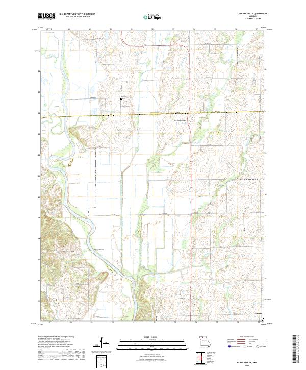
2021 Map of Farmersville
USGS Topo · Published 2021About this map
Farmersville and the surrounding agricultural landscape of northern Missouri are defined by the winding course of the Thompson River, which meanders through the western portion of this survey. The terrain is a network of creek drainages, including Honey Cr, No Cr, and N Fork Crooked Cr, which historically dictated the placement of early homesteads and cemeteries. For genealogists, the map identifies local burial sites such as Tolle Cem, Ward Cem, and May Cem, often located near these watercourses or tucked away along township roads.
Find a feature on this map
53 named features on this map. Tap any name to fly to it.
Don’t see what you’re looking for? This feature index may not catch every label — zoom into the map to look around manually.
Map Details
Editions of this 2021 Farmersville Map
This is the sole edition of this map. No revisions or reprints were ever made.
Other maps of this area

1921 · Chillicothe
USGS Topo · 1:62,500

1923 · Chillicothe
USGS Topo · 1:62,500

1924 · Chula
USGS Topo · 1:62,500

1946 · Galt
USGS Topo · 1:62,500

1947 · Chula
USGS Topo · 1:62,500

1948 · Trenton
USGS Topo · 1:62,500

1949 · Galt
USGS Topo · 1:62,500

1953 · Moberly
USGS Topo · 1:250,000

1954 · Centerville
USGS Topo · 1:250,000

1954 · Moberly
USGS Topo · 1:250,000