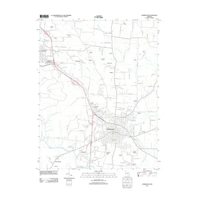
2011 Map of Farmington
USGS Topo · Published 2011About this map
Farmington serves as the focal point of this survey, anchored by its extensive grid of streets such as Market St and Maple St. The landscape to the south and west is defined by the Saint Francis River and its various tributaries, including Blankshire Branch and Flanery Branch. A dense network of family-named cemeteries, such as the Patterson Cemetery, McHenry Cemetery, and Taylor Cemetery, are scattered throughout the surrounding rural areas, suggesting a long history of generational settlement in this part of Saint Francois County.
Find a feature on this map
124 named features on this map. Tap any name to fly to it.
Don’t see what you’re looking for? This feature index may not catch every label — zoom into the map to look around manually.
Map Details
Editions of this 2011 Farmington Map
This is the sole edition of this map. No revisions or reprints were ever made.
Other maps of this area

1904 · Farmington
USGS Topo · 1:62,500

1905 · Bonneterre
USGS Topo · 1:62,500

1906 · Farmington
USGS Topo · 1:62,500

1937 · Ironton
USGS Topo · 1:48,000

1939 · Fredericktown
USGS Topo · 1:48,000

1945 · Ironton
USGS Topo · 1:62,500

1946 · Ironton
USGS Topo · 1:62,500

1947 · Fredericktown
USGS Topo · 1:62,500

1949 · Rolla
USGS Topo · 1:250,000

1950 · Fredericktown
USGS Topo · 1:62,500