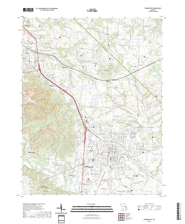
2023 Map of Farmington
USGS Topo · Published 2023About this map
Farmington serves as the focal point of this St. Francois County study, centered on the Saint Francois County Courthouse and its surrounding network of institutional and civic landmarks. The map documents an extensive concentration of historic burial sites, ranging from the Masonic Cem of Farmington and Odd Fellows Cem to the specialized Farmington State Hospital Cem Number 4. To the north and west, the terrain rises toward the Saint Francois Mountains, while the Saint Francois River and Walker Branch define the local drainage patterns. Transportation corridors and small settlements like Hurryville, Leadington, and De Lassus show the integration of educational and aviation infrastructure, including Mineral Area College and the Farmington Regional Airport, within a landscape characterized by family-named hills like Wiggins Hill and Chalk Hill.
Find a feature on this map
134 named features on this map. Tap any name to fly to it.
Don’t see what you’re looking for? This feature index may not catch every label — zoom into the map to look around manually.
Map Details
Editions of this 2023 Farmington Map
This is the sole edition of this map. No revisions or reprints were ever made.
Other maps of this area

1904 · Farmington
USGS Topo · 1:62,500

1905 · Bonneterre
USGS Topo · 1:62,500

1906 · Farmington
USGS Topo · 1:62,500

1937 · Ironton
USGS Topo · 1:48,000

1939 · Fredericktown
USGS Topo · 1:48,000

1945 · Ironton
USGS Topo · 1:62,500

1946 · Ironton
USGS Topo · 1:62,500

1947 · Fredericktown
USGS Topo · 1:62,500

1949 · Rolla
USGS Topo · 1:250,000

1950 · Fredericktown
USGS Topo · 1:62,500