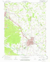
1964 Map of Farmington
USGS Topo · Published 1977About this map
Farmington serves as the focal point of this mid-1960s survey, showing the city's developed street grid and institutional core, including State Hospital No 4 and the Holy Family Fathers Seminary. The landscape reflects a transition from the industrial mining operations of the Old Lead Belt, evidenced by Mine No 10 and significant Tailings Ponds near Flat River, to a more suburbanized postwar character. Small satellite settlements like De Lassus, Leadington, and Hurryville dot the surrounding terrain, often organized around the rail lines of the Missouri Illinois and Missouri Pacific railroads.
Find a feature on this map
95 named features on this map. Tap any name to fly to it.
Don’t see what you’re looking for? This feature index may not catch every label — zoom into the map to look around manually.
Map Details
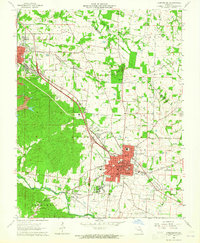
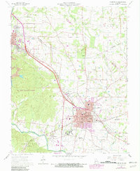
Editions of this 1964 Farmington Map
3 editions found
Other maps of this area

1904 · Farmington
USGS Topo · 1:62,500

1905 · Bonneterre
USGS Topo · 1:62,500

1906 · Farmington
USGS Topo · 1:62,500

1937 · Ironton
USGS Topo · 1:48,000

1939 · Fredericktown
USGS Topo · 1:48,000

1945 · Ironton
USGS Topo · 1:62,500

1946 · Ironton
USGS Topo · 1:62,500

1947 · Fredericktown
USGS Topo · 1:62,500

1949 · Rolla
USGS Topo · 1:250,000

1950 · Fredericktown
USGS Topo · 1:62,500