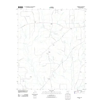
2011 Map of Farmville
USGS Topo · Published 2011About this map
Farmville and Craney anchor this rural Bradley County landscape, where the settlement pattern follows a network of established county roads and small creek drainages. The area is defined by its numerous family and community burial grounds, including Garrison Cemetery, Ebenezer Cemetery, and Crossroads Cemetery, which serve as vital markers for genealogical research in this part of Arkansas. At the northern end of the map, the Banks Lookout Tower stands near Cross Roads, overlooking the winding path of Camp Creek and the surrounding woodlands. The terrain is intricately carved by a series of waterways, most notably L'Aigle Creek and its various branches like Steepbank L'Aigle Creek and Brushy L'Aigle Creek. This drainage system, which includes Henrys Creek and California Branch, has historically influenced the placement of farms and small hamlets across the quadrangle.
Find a feature on this map
58 named features on this map. Tap any name to fly to it.
Don’t see what you’re looking for? This feature index may not catch every label — zoom into the map to look around manually.
Map Details
Editions of this 2011 Farmville Map
This is the sole edition of this map. No revisions or reprints were ever made.
Other maps of this area

1934 · Ingalls
USGS Topo · 1:48,000

1934 · Moro Bay
USGS Topo · 1:62,500

1937 · Ingalls
USGS Topo · 1:62,500

1938 · Moro Bay
USGS Topo · 1:62,500

1939 · Moro Bay
USGS Topo · 1:62,500

1939 · Ingalls
USGS Topo · 1:62,500

1953 · El Dorado
USGS Topo · 1:250,000

1957 · El Dorado
USGS Topo · 1:250,000

1958 · El Dorado
USGS Topo · 1:250,000

1960 · El Dorado
USGS Topo · 1:250,000