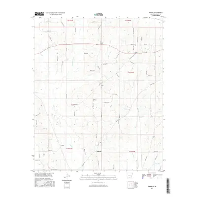
2017 Map of Farmville
USGS Topo · Published 2017About this map
The lowlands of Bradley County are defined by a network of creeks and drainage branches in this 2017 survey. The primary watercourses, L'Aigle Cr and its tributaries such as Steepbank L'Aigle Cr and Brushy L'Aigle Cr, dictate the placement of roads and small settlements like Farmville and Craney. The landscape is etched with local history, evidenced by numerous burial grounds including Craney Cem, Ebenezer Cem, and Parnell Cem.
Find a feature on this map
77 named features on this map. Tap any name to fly to it.
Don’t see what you’re looking for? This feature index may not catch every label — zoom into the map to look around manually.
Map Details
Editions of this 2017 Farmville Map
This is the sole edition of this map. No revisions or reprints were ever made.
Other maps of this area

1934 · Ingalls
USGS Topo · 1:48,000

1934 · Moro Bay
USGS Topo · 1:62,500

1937 · Ingalls
USGS Topo · 1:62,500

1938 · Moro Bay
USGS Topo · 1:62,500

1939 · Moro Bay
USGS Topo · 1:62,500

1939 · Ingalls
USGS Topo · 1:62,500

1953 · El Dorado
USGS Topo · 1:250,000

1957 · El Dorado
USGS Topo · 1:250,000

1958 · El Dorado
USGS Topo · 1:250,000

1960 · El Dorado
USGS Topo · 1:250,000