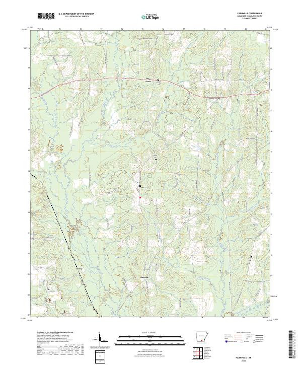
2024 Map of Farmville
USGS Topo · Published 2024About this map
Farmville and the surrounding rural pockets of Bradley County are defined by a complex network of waterways feeding into L'Aigle Creek. This landscape of timber and bottomlands is marked by small settlements like Cross Roads and Craney, connected by a web of local routes such as Dutch Hargis Rd and Pleasant Valley Rd. The distribution of burial sites across the township lines, including Ebenezer Cem and Parker Prospect Cem, reflects the long-standing community hubs that persist in this sparsely populated region.
Find a feature on this map
82 named features on this map. Tap any name to fly to it.
Don’t see what you’re looking for? This feature index may not catch every label — zoom into the map to look around manually.
Map Details
Editions of this 2024 Farmville Map
This is the sole edition of this map. No revisions or reprints were ever made.
Other maps of this area

1934 · Ingalls
USGS Topo · 1:48,000

1934 · Moro Bay
USGS Topo · 1:62,500

1937 · Ingalls
USGS Topo · 1:62,500

1938 · Moro Bay
USGS Topo · 1:62,500

1939 · Moro Bay
USGS Topo · 1:62,500

1939 · Ingalls
USGS Topo · 1:62,500

1953 · El Dorado
USGS Topo · 1:250,000

1957 · El Dorado
USGS Topo · 1:250,000

1958 · El Dorado
USGS Topo · 1:250,000

1960 · El Dorado
USGS Topo · 1:250,000