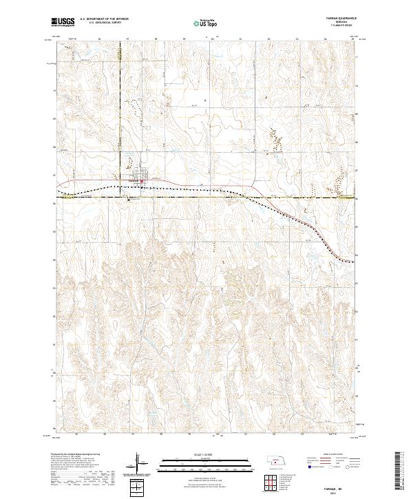
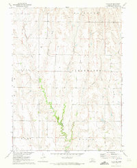
2021 Map of Farnam
USGS Topo · Published 2021About this map
Farnam serves as the central hub of this Nebraska landscape, situated precisely where the borders of Lincoln, Dawson, and Frontier counties converge. The town's grid is clearly defined by local thoroughfares such as Main St, Crockett St, and Moose St, reflecting the structured settlement of the Great Plains. Just south of the village center lies the Farnam Cem, a key landmark for local genealogical research.
Find a feature on this map
41 named features on this map. Tap any name to fly to it.
Don’t see what you’re looking for? This feature index may not catch every label — zoom into the map to look around manually.
Map Details
Editions of this 2021 Farnam Map
This is the sole edition of this map. No revisions or reprints were ever made.
Other maps of this area

1902 · Gothenburg
USGS Topo · 1:125,000

1954 · McCook
USGS Topo · 1:250,000

1956 · Stockville NE
USGS Topo · 1:24,000

1956 · Stockville SE
USGS Topo · 1:24,000

1957 · McCook
USGS Topo · 1:250,000

1958 · McCook
USGS Topo · 1:250,000
1970 · Eustis SW
USGS Topo · 1:24,000
1970 · Eustis
USGS Topo · 1:24,000
1970 · Jeffrey Reservoir SE
USGS Topo · 1:24,000
1970 · Eustis SE
USGS Topo · 1:24,000