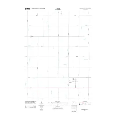
2013 Map of Farnhamville
USGS Topo · Published 2013About this map
The town of Farnhamville anchors this part of Calhoun County, defined by a grid of agricultural section roads and a sophisticated water management system. In this modern era, the landscape shows a clear division between the rural town centers and the engineered drainage of the Iowa prairie. The survey captures the layout of small settlements including Rinard in the northwest, and the smaller points of Slifer and Easley to the east.
Find a feature on this map
35 named features on this map. Tap any name to fly to it.
Don’t see what you’re looking for? This feature index may not catch every label — zoom into the map to look around manually.
Map Details
Editions of this 2013 Farnhamville Map
This is the sole edition of this map. No revisions or reprints were ever made.
Other maps of this area

1954 · Fort Dodge
USGS Topo · 1:250,000
1957 · Fort Dodge
USGS Topo · 1:250,000
1958 · Fort Dodge
USGS Topo · 1:250,000
1962 · Jefferson
USGS Topo · 1:62,500
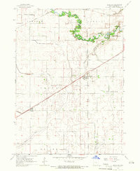
1965 · Moorland
USGS Topo · 1:24,000
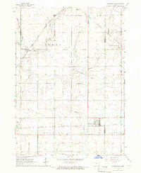
1965 · Farnhamville
USGS Topo · 1:24,000
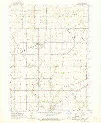
1965 · Knierim
USGS Topo · 1:24,000
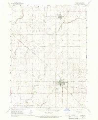
1965 · Gowrie
USGS Topo · 1:24,000
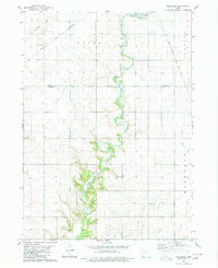
1980 · Wightman
USGS Topo · 1:24,000
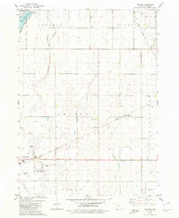
1980 · Richard
USGS Topo · 1:24,000