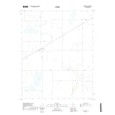
2019 Map of Farnsworth
USGS Topo · Published 2019About this map
Farnsworth serves as the primary hub of this High Plains landscape in Ochiltree County, where the agricultural grid is bisected by a long-distance rail line and the localized geography of the Texas Panhandle. The community is anchored by a Po and sits at the junction of several arterial routes, including Ranch Rd 376. To the northeast lies the settlement of Lord, while the surrounding prairie is dotted with seasonal depressions and water bodies such as Truax Lake and Deer Lake. In the southeastern portion of the quadrangle, the terrain becomes more varied as Wolf Cr carves a drainage path through the plains. The map illustrates a highly organized rural infrastructure, defined by a network of county roads like Co RD K and Co RD 11 that partition the land into large-scale ranching and farming tracts characteristic of the region's modern era.
Find a feature on this map
20 named features on this map. Tap any name to fly to it.
Don’t see what you’re looking for? This feature index may not catch every label — zoom into the map to look around manually.
Map Details
Editions of this 2019 Farnsworth Map
This is the sole edition of this map. No revisions or reprints were ever made.
Other maps of this area

1954 · Perryton
USGS Topo · 1:250,000

1958 · Perryton
USGS Topo · 1:250,000

1973 · Farnsworth
USGS Topo · 1:24,000

1973 · Horseshoe Hill
USGS Topo · 1:24,000

1973 · Sourdough Creek NE
USGS Topo · 1:24,000

1973 · Perryton SE
USGS Topo · 1:24,000

1973 · Perryton
USGS Topo · 1:24,000

1973 · Waka
USGS Topo · 1:24,000

1973 · Spearman NE
USGS Topo · 1:24,000

1973 · Sourdough Creek NW
USGS Topo · 1:24,000