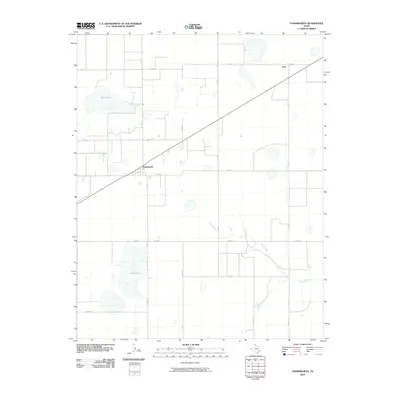
2022 Map of Farnsworth
USGS Topo · Published 2022About this map
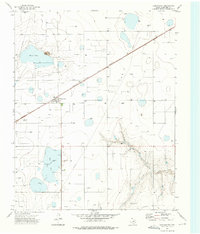
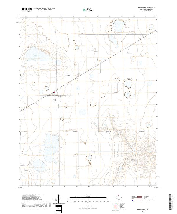
Farnsworth and the small settlement of Lord anchor this topographic view of the High Plains in Ochiltree County. The landscape is defined by the grid of county roads and ranching routes, including Ranch Rd 376 and Ranch Rd 3045, which connect dispersed rural operations across the northern Panhandle. In a region known for its limited surface water, the map documents several significant depressions and water bodies, most notably Deer Lake and Truax Lake, as well as the headwaters of Wolf Cr.
Find a feature on this map
20 named features on this map. Tap any name to fly to it.
Don’t see what you’re looking for? This feature index may not catch every label — zoom into the map to look around manually.
Map Details
Editions of this 2022 Farnsworth Map
This is the sole edition of this map. No revisions or reprints were ever made.
Historical Maps of Farnsworth Through Time
6 maps found