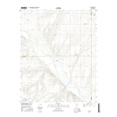
2016 Map of Fay
USGS Topo · Published 2016About this map
Fay and Cody sit within the wide agricultural basin of the Canadian River, where the landscape is defined by the intersection of three counties. This 2016 survey captures the rural character of western Oklahoma, anchored by the town of Thomas at the southwestern corner. Local heritage is preserved at sites like Mount Hope Cem to the north and Liberty Cem near the river's bend. The hydrology of the area is further shaped by the Caldwell Reservoir, while a dense grid of rural roads, such as e0830 RD and n2420 RD, connects the scattered farmsteads across the borders of Dewey, Blaine, and Custer Counties. The map illustrates a contemporary rural infrastructure still deeply rooted in the original section-line settlement patterns.
Find a feature on this map
29 named features on this map. Tap any name to fly to it.
Don’t see what you’re looking for? This feature index may not catch every label — zoom into the map to look around manually.
Map Details
Editions of this 2016 Fay Map
This is the sole edition of this map. No revisions or reprints were ever made.
Other maps of this area

1955 · Clinton
USGS Topo · 1:250,000

1957 · Clinton
USGS Topo · 1:250,000

1957 · Clinton
USGS Topo · 1:62,500

1962 · Putnam
USGS Topo · 1:62,500

1964 · Oakwood
USGS Topo · 1:62,500

1964 · Weatherford
USGS Topo · 1:62,500

1976 · Clinton NE
USGS Topo · 1:24,000
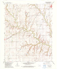
1983 · Clinton NE
USGS Topo · 1:24,000
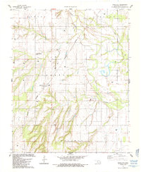
1985 · Eagle City
USGS Topo · 1:24,000
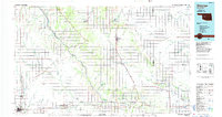
1985 · Watonga
USGS Topo · 1:100,000