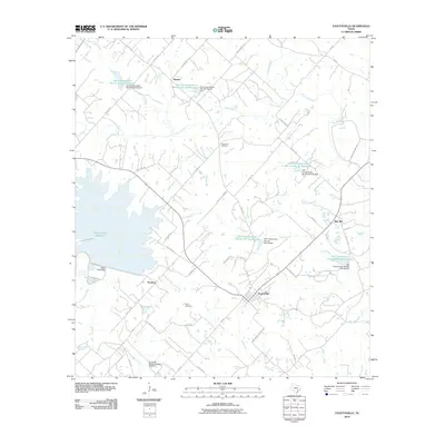
2010 Map of Fayetteville
USGS Topo · Published 2010About this map
Fayetteville sits at the heart of this landscape, serving as a hub for a network of rural routes like S FM 1291 and FM 955. The surrounding Fayette County countryside is defined by its agrarian character and a sophisticated water management system, evidenced by numerous soil conservation structures including Soil Conservation Service Site 29 Reservoir and the Texas No Name Number 53 Dam. Small, scattered communities such as Roznov, Tamberg, and Rek Hill are interspersed with family-named landmarks like Halimecek Cemetery and Eilers Cemetery, reflecting the area's deep-rooted settlement history.
Find a feature on this map
60 named features on this map. Tap any name to fly to it.
Don’t see what you’re looking for? This feature index may not catch every label — zoom into the map to look around manually.
Map Details
Editions of this 2010 Fayetteville Map
This is the sole edition of this map. No revisions or reprints were ever made.
Other maps of this area

1919 · Fayettsville
USGS Topo · 1:62,500

1919 · Giddings
USGS Topo · 1:62,500

1953 · Seguin
USGS Topo · 1:250,000

1954 · Austin
USGS Topo · 1:250,000

1956 · La Grange
USGS Topo · 1:62,500

1957 · Ellinger
USGS Topo · 1:24,000

1957 · La Grange East
USGS Topo · 1:24,000

1957 · Ammannsville
USGS Topo · 1:24,000

1958 · Seguin
USGS Topo · 1:250,000

1958 · Industry
USGS Topo · 1:24,000