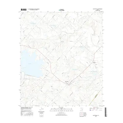
2016 Map of Fayetteville
USGS Topo · Published 2016About this map
Fayetteville sits at the heart of this landscape, positioned north of the winding Allen Cr and east of the expansive waters of Lake Fayette. The town's grid is anchored by E Main St and N Rusk St, serving as a central hub for the surrounding rural homesteads and agricultural tracts. To the northeast, the smaller community of Rek Hill marks a transition toward the Colorado County line, where the terrain is defined by a sophisticated network of water management features, including the Soil Conservation Service Site 29 Reservoir and several other flood-control sites. Genealogists may find value in the location of family-named landmarks and resting places such as Ellers Cem and Halimecek Cem, while the intricate web of local roads like Roznov Rd and Treybig Loop reveals the persistent rural layout of Fayette County in the mid-2010s.
Find a feature on this map
63 named features on this map. Tap any name to fly to it.
Don’t see what you’re looking for? This feature index may not catch every label — zoom into the map to look around manually.
Map Details
Editions of this 2016 Fayetteville Map
This is the sole edition of this map. No revisions or reprints were ever made.
Other maps of this area

1919 · Fayettsville
USGS Topo · 1:62,500

1919 · Giddings
USGS Topo · 1:62,500

1953 · Seguin
USGS Topo · 1:250,000

1954 · Austin
USGS Topo · 1:250,000

1956 · La Grange
USGS Topo · 1:62,500

1957 · Ellinger
USGS Topo · 1:24,000

1957 · La Grange East
USGS Topo · 1:24,000

1957 · Ammannsville
USGS Topo · 1:24,000

1958 · Seguin
USGS Topo · 1:250,000

1958 · Industry
USGS Topo · 1:24,000