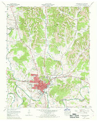
1966 Map of Fayetteville
USGS Topo · Published 1969About this map
The Elk River carves a deep path through southern Lincoln County, defining the landscape with prominent oxbows at Marshall Bend and Morgan Bend. In the late 1960s, Fayetteville serves as the regional hub, its street grid anchored by a central courthouse and extending toward the industrial and residential cluster of Elk Mill Village. This era shows a community in transition, where the Louisville and Nashville Railroad remains a fixture of the town center, while a dismantled railroad line north of Norris Creek hints at shifting transportation needs.
Find a feature on this map
87 named features on this map. Tap any name to fly to it.
Don’t see what you’re looking for? This feature index may not catch every label — zoom into the map to look around manually.
Map Details
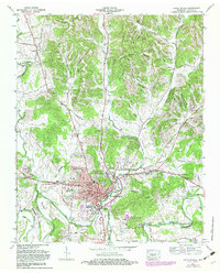
Editions of this 1966 Fayetteville Map
2 editions found
Other maps of this area

1936 · Booneville
USGS Topo · 1:24,000

1936 · Flintville
USGS Topo · 1:24,000

1936 · Taft
USGS Topo · 1:24,000

1936 · Belleville
USGS Topo · 1:24,000

1936 · Boonshill
USGS Topo · 1:24,000

1936 · Petersburg
USGS Topo · 1:24,000

1936 · Lincoln
USGS Topo · 1:24,000

1936 · Mulberry
USGS Topo · 1:24,000

1936 · Fayetteville
USGS Topo · 1:24,000

1944 · Shelbyville
USGS Topo · 1:100,000
Featured Places
- Fayetteville, TN
- Creson, Fayetteville
- Madden Homes, Fayetteville
- Elmwood Terrace, Fayetteville
- Howell, TN