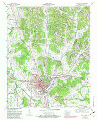
1966 Map of Fayetteville
USGS Topo · Published 1982About this map
Fayetteville serves as the focal point of this Tennessee mid-century study, centered where the Louisville and Nashville railroad intersects the winding Elk River. The map documents a town in transition, showing established institutions like the Robert E Lee School and Central High School alongside expanding infrastructure such as the Lincoln Co Hospital and the Riverview Fairgrounds. The town's industrial and civic footprint is clear, from the Elk Mill Village to the local Post Office and Courthouse.
Find a feature on this map
68 named features on this map. Tap any name to fly to it.
Don’t see what you’re looking for? This feature index may not catch every label — zoom into the map to look around manually.
Map Details
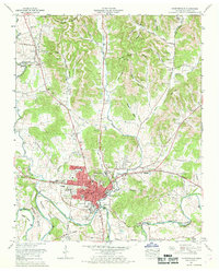
Editions of this 1966 Fayetteville Map
2 editions found
Other maps of this area

1936 · Booneville
USGS Topo · 1:24,000

1936 · Flintville
USGS Topo · 1:24,000

1936 · Taft
USGS Topo · 1:24,000

1936 · Belleville
USGS Topo · 1:24,000

1936 · Boonshill
USGS Topo · 1:24,000

1936 · Petersburg
USGS Topo · 1:24,000

1936 · Lincoln
USGS Topo · 1:24,000

1936 · Mulberry
USGS Topo · 1:24,000

1936 · Fayetteville
USGS Topo · 1:24,000

1944 · Shelbyville
USGS Topo · 1:100,000
Featured Places
- Fayetteville, TN
- Creson, Fayetteville
- Madden Homes, Fayetteville
- Elmwood Terrace, Fayetteville
- Howell, TN