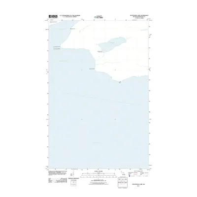
2011 Map of Feldtmann Lake
USGS Topo · Published 2011About this map
Lake Superior dominates this coastal survey, where the southwestern reaches of Isle Royale meet the open water. The landscape is defined by its dramatic shoreline features, including the sheltered waters of Grace Harbor and the expansive Rainbow Cove. Inland, the freshwater Feldtmann Lake is a primary focal point, served by the Feldtmann Lake Campground which indicates the area's role as a destination for wilderness recreation. The mapping captures a transition from the rocky hazards of Cumberland Reef to the prominent landform known as The Head. To the northeast, the Big Siskiwit River drains toward the lake, while Washington Island sits just offshore, marking the entrance to the harbor. This 2011 documentation provides a clear view of the natural topography and the sparse human footprint within this protected island environment.
Find a feature on this map
12 named features on this map. Tap any name to fly to it.
Don’t see what you’re looking for? This feature index may not catch every label — zoom into the map to look around manually.
Map Details
Editions of this 2011 Feldtmann Lake Map
This is the sole edition of this map. No revisions or reprints were ever made.
Other maps of this area

1958 · Hancock
USGS Topo · 1:250,000

1960 · Hancock
USGS Topo · 1:250,000

1961 · Hancock
USGS Topo · 1:250,000

1966 · Hancock
USGS Topo · 1:250,000

1985 · Grand Portage
USGS Topo · 1:100,000
1985 · Feldtmann Ridge
USGS Topo · 1:24,000
1985 · Feldtmann Lake
USGS Topo · 1:24,000
1985 · Windigo
USGS Topo · 1:24,000
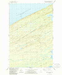
1985 · Sugar Mountain
USGS Topo · 1:24,000
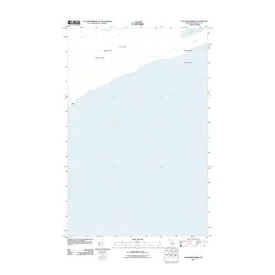
2011 · Feldtmann Ridge
USGS Topo · 1:24,000