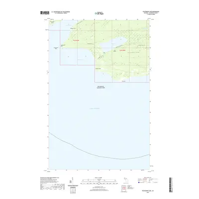
2019 Map of Feldtmann Lake
USGS Topo · Published 2019About this map
Isle Royale National Park preserves a maritime wilderness at the southwestern end of the archipelago, where the land breaks into a series of jagged peninsulas and sheltered waters. The topography is defined by the prominent Feldtmann Ridge, which runs parallel to the coast and overlooks Feldtmann Lake. This interior lake is separated from the open waters of Lake Superior by a narrow strip of land, creating a distinct hydrological environment.
Find a feature on this map
19 named features on this map. Tap any name to fly to it.
Don’t see what you’re looking for? This feature index may not catch every label — zoom into the map to look around manually.
Map Details
Editions of this 2019 Feldtmann Lake Map
This is the sole edition of this map. No revisions or reprints were ever made.
Other maps of this area

1958 · Hancock
USGS Topo · 1:250,000

1960 · Hancock
USGS Topo · 1:250,000

1961 · Hancock
USGS Topo · 1:250,000

1966 · Hancock
USGS Topo · 1:250,000

1985 · Grand Portage
USGS Topo · 1:100,000
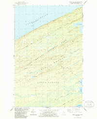
1985 · Feldtmann Ridge
USGS Topo · 1:24,000
1985 · Feldtmann Lake
USGS Topo · 1:24,000
1985 · Windigo
USGS Topo · 1:24,000
1985 · Sugar Mountain
USGS Topo · 1:24,000
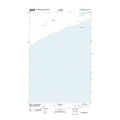
2011 · Feldtmann Ridge
USGS Topo · 1:24,000