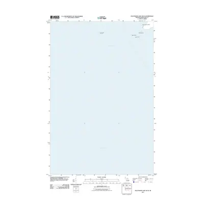
2011 Map of Feldtmann Lake OE W
USGS Topo · Published 2011About this map
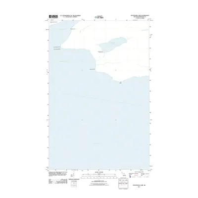
Rock of Ages Lighthouse stands as a solitary sentinel amidst the expansive waters of Lake Superior in this maritime-focused survey. Located off the southwestern tip of Isle Royale, this area is defined by the dangerous rocky shoals that necessitated the light's construction. The map details the small landmasses that break the lake's surface, including Washington Island, Bottle Island, North Rock, and South Rock. These features provide a precise record of the shoreline and maritime hazards in the northwestern reaches of Keweenaw County. The survey illustrates the isolation of these outposts and the sparse terrain typical of the archipelago's outer fringes, where land is limited to these small, exposed formations.
Find a feature on this map
6 named features on this map. Tap any name to fly to it.
Don’t see what you’re looking for? This feature index may not catch every label — zoom into the map to look around manually.
Map Details
Editions of this 2011 Feldtmann Lake OE W Map
This is the sole edition of this map. No revisions or reprints were ever made.
Other maps of this area

1958 · Hancock
USGS Topo · 1:250,000

1960 · Hancock
USGS Topo · 1:250,000

1961 · Hancock
USGS Topo · 1:250,000

1966 · Hancock
USGS Topo · 1:250,000

1985 · Grand Portage
USGS Topo · 1:100,000
1985 · Feldtmann Lake
USGS Topo · 1:24,000
1985 · Windigo
USGS Topo · 1:24,000
2011 · Windigo
USGS Topo · 1:24,000
2011 · Feldtmann Lake
USGS Topo · 1:24,000
2013 · Pigeon Point OE E
USGS Topo · 1:24,000