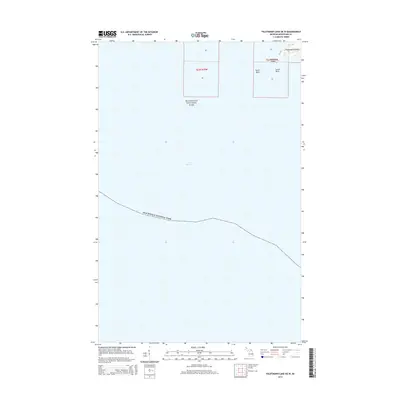
2014 Map of Feldtmann Lake OE W
USGS Topo · Published 2014About this map
Lake Superior dominates this nautical and terrestrial perspective at the southwestern edge of Isle Royale National Park. The survey highlights a small cluster of landforms including the relatively substantial Washington Island, flanked by smaller navigational hazards and markers like North Rock, South Rock, and the diminutive Bottle Island. This area represents a critical boundary between the protected wilderness of the national park and the open waters of the Great Lakes. The layout of t63n r39w provides the township and range framework for this remote island geography, where the interface of land and water is the defining characteristic of the landscape.
Find a feature on this map
7 named features on this map. Tap any name to fly to it.
Don’t see what you’re looking for? This feature index may not catch every label — zoom into the map to look around manually.
Map Details
Editions of this 2014 Feldtmann Lake OE W Map
This is the sole edition of this map. No revisions or reprints were ever made.
Other maps of this area

1958 · Hancock
USGS Topo · 1:250,000

1960 · Hancock
USGS Topo · 1:250,000

1961 · Hancock
USGS Topo · 1:250,000

1966 · Hancock
USGS Topo · 1:250,000

1985 · Grand Portage
USGS Topo · 1:100,000
1985 · Feldtmann Lake
USGS Topo · 1:24,000
1985 · Windigo
USGS Topo · 1:24,000
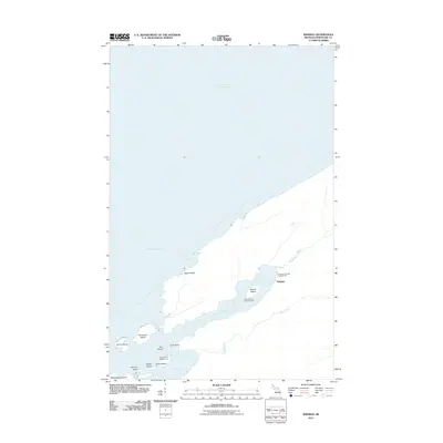
2011 · Windigo
USGS Topo · 1:24,000
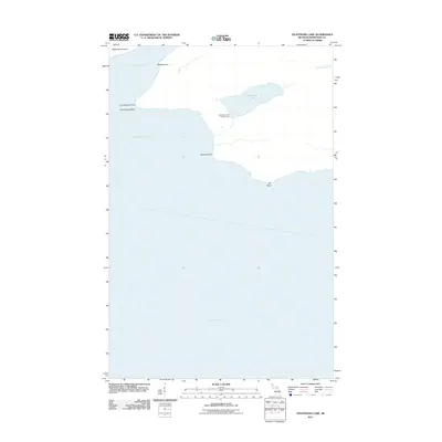
2011 · Feldtmann Lake
USGS Topo · 1:24,000
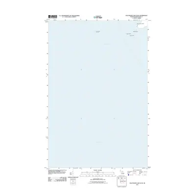
2011 · Feldtmann Lake OE W
USGS Topo · 1:24,000