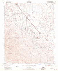
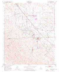
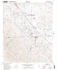
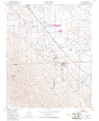
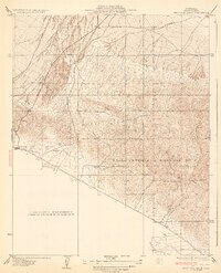
1950 Map of Fellows
USGS Topo · Published 1968About this map
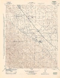
Oil wells and industrial pumping infrastructure dominate this landscape along the foothills of the Temblor Range. The map documents a critical period of California petroleum extraction within the Naval Petroleum Reserve No 2, where the settlement of Fellows serves as a central hub. Evidence of the region's oil-based economy is scattered across the terrain, from the specialized housing at Midway Oil Camp and Associated Oil Camp to the isolated station at Midway Pumping Sta. In the northern section, Derby Acres sits along the flat basin near Buena Vista Creek, contrasting with the high-elevation terrain of Midway Pk. The presence of the Midway School near the Kern and San Luis Obispo county line highlights the established community that grew around these mineral resources during the mid-twentieth century.
Find a feature on this map
27 named features on this map. Tap any name to fly to it.
Don’t see what you’re looking for? This feature index may not catch every label — zoom into the map to look around manually.
Map Details
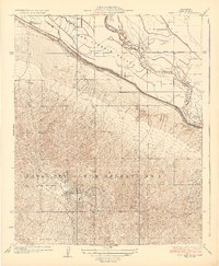
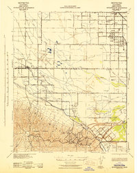
Editions of this 1950 Fellows Map
4 editions found
Other maps of this area

1910 · Buena Vista Lake
USGS Topo · 1:125,000

1912 · McKittrick
USGS Topo · 1:125,000

1912 · Buena Vista Lake
USGS Topo · 1:125,000
1932 · West Elk Hills
USGS Topo · 1:31,680
1932 · East Elk Hills
USGS Topo · 1:31,680
1942 · Buttonwillow
USGS Topo · 1:62,500
1943 · Maricopa
USGS Topo · 1:31,680

1944 · Panorama Hills
USGS Topo · 1:31,680
1944 · Fellows
USGS Topo · 1:31,680

1944 · Elkhorn Hills
USGS Topo · 1:31,680