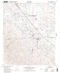
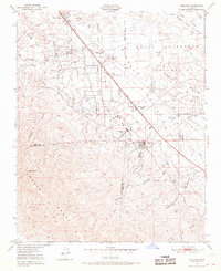
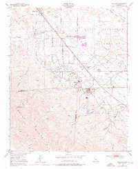
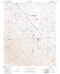
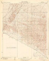
1950 Map of Fellows
USGS Topo · Published 1986About this map
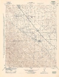
Naval Petroleum Reserve No 2 dominates the northern landscape of this Kern County region, revealing an intensive mid-century extraction economy. The density of Oil Wells and massive Oil Tanks infrastructure throughout the Buena Vista Hills illustrates the industrial scale of the Midway-Sunset field during this era. Built specifically to support this workforce, localized settlements like Associated Oil Camp, Midway Oil Camp, and Midoil cluster near the production sites, while Midway School serves the community of Fellows. To the southwest, the terrain transitions sharply into the Temblor Range, marked by steep elevations such as Midway Pk and the deep cuts of Crocker Canyon and McLeod Canyon. This survey captures the specialized infrastructure of the oil industry, from the Midway Pumping Sta to the complex network of unnamed pipeline corridors and service tracks like Shale Road.
Find a feature on this map
29 named features on this map. Tap any name to fly to it.
Don’t see what you’re looking for? This feature index may not catch every label — zoom into the map to look around manually.
Map Details
Editions of this 1950 Fellows Map
4 editions found
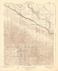
Other maps of this area

1910 · Buena Vista Lake
USGS Topo · 1:125,000

1912 · McKittrick
USGS Topo · 1:125,000

1912 · Buena Vista Lake
USGS Topo · 1:125,000
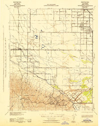
1932 · West Elk Hills
USGS Topo · 1:31,680
1932 · East Elk Hills
USGS Topo · 1:31,680
1942 · Buttonwillow
USGS Topo · 1:62,500
1943 · Maricopa
USGS Topo · 1:31,680

1944 · Panorama Hills
USGS Topo · 1:31,680
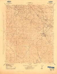
1944 · Fellows
USGS Topo · 1:31,680

1944 · Elkhorn Hills
USGS Topo · 1:31,680