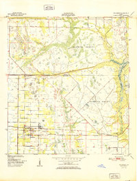
1951 Map of Fellsmere
USGS Topo · Published 1951About this map
Fellsmere serves as the primary hub of this mid-century Florida landscape, defined by an intricate network of drainage and transportation lines. The Trans Florida Central Line and the Trans Florida Central road parallel each other across the southern reach, passing through the community of Brookside toward the River Bridge. This era shows the deliberate engineering of the land, with numerous Spoil Banks and canals cut into the low-lying terrain of the Fleming Grant.
Find a feature on this map
14 named features on this map. Tap any name to fly to it.
Don’t see what you’re looking for? This feature index may not catch every label — zoom into the map to look around manually.
Map Details
Editions of this 1951 Fellsmere Map
This is the sole edition of this map. No revisions or reprints were ever made.
Other maps of this area
1949 · Fellsmere
USGS Topo · 1:24,000
1949 · Sebastian NW
USGS Topo · 1:24,000
1949 · Vero Beach
USGS Topo · 1:24,000
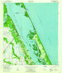
1949 · Sebastian
USGS Topo · 1:24,000
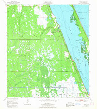
1949 · Grant
USGS Topo · 1:24,000
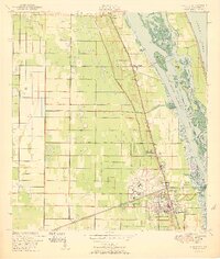
1950 · Vero Beach
USGS Topo · 1:24,000
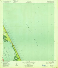
1951 · Sebastian NW
USGS Topo · 1:24,000
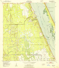
1951 · Grant
USGS Topo · 1:24,000
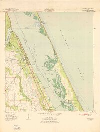
1951 · Sebastian
USGS Topo · 1:24,000
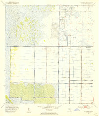
1953 · Fellsmere SW
USGS Topo · 1:24,000