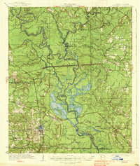
1938 Map of Felsenthal
USGS Topo · Published 1938About this map
The Ouachita River and Saline River converge in a labyrinth of sloughs and brakes along the border of Arkansas and Louisiana. This 1930s survey documents the complex water network that defined local life, from the industrial settlement at Huttig to the river town of Felsenthal. The landscape is a patchwork of ridges and low-lying basins, where the Missouri Pacific railroad cuts through the terrain near Big Mound Ridge.
Find a feature on this map
76 named features on this map. Tap any name to fly to it.
Don’t see what you’re looking for? This feature index may not catch every label — zoom into the map to look around manually.
Map Details
Editions of this 1938 Felsenthal Map
This is the sole edition of this map. No revisions or reprints were ever made.
Other maps of this area
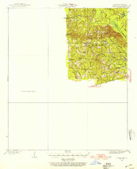
1933 · Strong
USGS Topo · 1:62,500
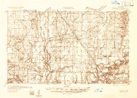
1934 · Ingalls
USGS Topo · 1:48,000
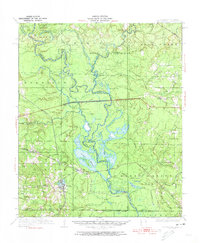
1934 · Felsenthal
USGS Topo · 1:62,500
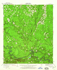
1934 · Moro Bay
USGS Topo · 1:62,500
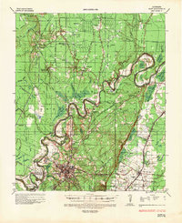
1935 · Naff
USGS Topo · 1:62,500
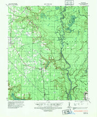
1935 · Haile
USGS Topo · 1:62,500
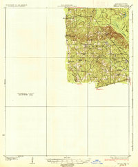
1937 · Strong
USGS Topo · 1:62,500
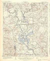
1937 · Felsenthal
USGS Topo · 1:62,500
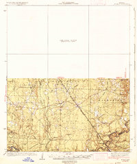
1937 · Ingalls
USGS Topo · 1:62,500
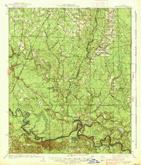
1938 · Moro Bay
USGS Topo · 1:62,500