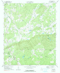
1973 Map of Felton
USGS Topo · Published 1991About this map
The boundary between Polk and Haralson Counties runs through a landscape defined by the ridges of Dugdown Mountain and Hightower Mountain. In the early 1970s, the rural community of Felton served as a local hub for this region, situated near Lassetter Cr and the Central of Georgia rail line. The presence of numerous quarries and mines near the Seaboard Coast Line in the north suggests an active extractive industry integrated with the rail network.
Find a feature on this map
45 named features on this map. Tap any name to fly to it.
Don’t see what you’re looking for? This feature index may not catch every label — zoom into the map to look around manually.
Map Details
Editions of this 1973 Felton Map
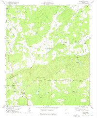
2 editions found
Other maps of this area

1886 · Rome
USGS Topo · 1:125,000

1889 · Tallapoosa
USGS Topo · 1:125,000

1892 · Tallapoosa
USGS Topo · 1:125,000

1897 · Tallapoosa
USGS Topo · 1:125,000

1898 · Rome
USGS Topo · 1:125,000

1899 · Rome
USGS Topo · 1:125,000

1904 · Rome
USGS Topo · 1:125,000

1953 · Atlanta
USGS Topo · 1:250,000

1955 · Rome
USGS Topo · 1:250,000

1957 · Atlanta
USGS Topo · 1:250,000