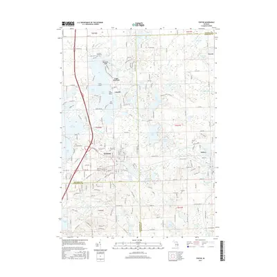
2017 Map of Fenton
USGS Topo · Published 2017About this map
The Shiawassee River winds through this lake-rich corridor at the junction of Genesee, Livingston, and Oakland counties. This area is defined by its glacial hydrology, with Lake Fenton and Lake Ponemah serving as major landmarks. Within the city of Fenton, the map details a dense residential and commercial core, including the Post Office and Fenton High School. For genealogists, several prominent burial sites are recorded, including Oakwood Cemetery, Fenton Township Cemetery, and Saint John's Catholic Cemetery. To the east, the landscape transitions into the protected wetlands and woodlots of Seven Lakes State Park. The industrial and transport history of the region is anchored by the CSX Transportation rail line, which cuts through the urban center and connects toward Holly and the surrounding shoreline communities like Lakeside and Bayport Park.
Find a feature on this map
263 named features on this map. Tap any name to fly to it.
Don’t see what you’re looking for? This feature index may not catch every label — zoom into the map to look around manually.
Map Details
Editions of this 2017 Fenton Map
This is the sole edition of this map. No revisions or reprints were ever made.
Other maps of this area

1907 · Howell
USGS Topo · 1:62,500

1909 · Howell
USGS Topo · 1:62,500

1909 · Milford
USGS Topo · 1:62,500

1920 · Holly
USGS Topo · 1:62,500

1922 · Holly
USGS Topo · 1:62,500

1922 · Durand
USGS Topo · 1:62,500

1936 · Highland
USGS Topo · 1:31,680

1942 · Highland
USGS Topo · 1:24,000

1943 · Holly
USGS Topo · 1:62,500

1943 · Durand
USGS Topo · 1:62,500