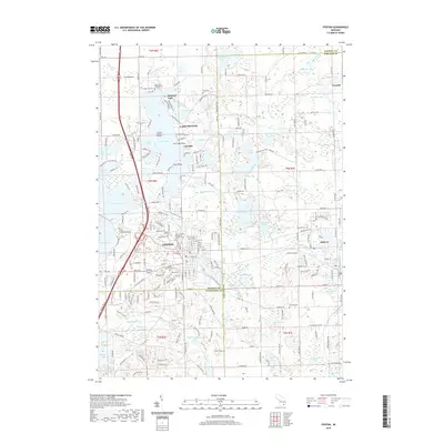
2019 Map of Fenton
USGS Topo · Published 2019About this map
The Shiawassee River winds through this landscape of the Michigan lake country, connecting the residential and commercial hubs of Fenton and Holly. The map details a densely settled lakefront environment, particularly around the expansive Lake Fenton, where features like Case Island, Log Cabin Pt, and the community of Lakeside define the shore. This area serves as a primary recreational and residential corridor between Flint and Detroit, marked by the presence of CSX Transportation rail lines.
Find a feature on this map
125 named features on this map. Tap any name to fly to it.
Don’t see what you’re looking for? This feature index may not catch every label — zoom into the map to look around manually.
Map Details
Editions of this 2019 Fenton Map
This is the sole edition of this map. No revisions or reprints were ever made.
Other maps of this area

1907 · Howell
USGS Topo · 1:62,500

1909 · Howell
USGS Topo · 1:62,500

1909 · Milford
USGS Topo · 1:62,500

1920 · Holly
USGS Topo · 1:62,500

1922 · Holly
USGS Topo · 1:62,500

1922 · Durand
USGS Topo · 1:62,500

1936 · Highland
USGS Topo · 1:31,680

1942 · Highland
USGS Topo · 1:24,000

1943 · Holly
USGS Topo · 1:62,500

1943 · Durand
USGS Topo · 1:62,500