
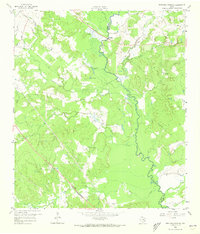
1959 Map of Ferguson Crossing
USGS Topo · Published 1960About this map
The Navasota River serves as the dividing line between Brazos and Grimes counties, anchoring a landscape of bottomlands and low-lying marshes. At the center of the survey is Ferguson Crossing, where the topography shows a concentration of hydrological and cultural activity. The terrain is marked by seasonal lakes and springs, including Tonkaway Lake, Brushy Lake, and the named Sulphur Spring.
Find a feature on this map
23 named features on this map. Tap any name to fly to it.
Don’t see what you’re looking for? This feature index may not catch every label — zoom into the map to look around manually.
Map Details
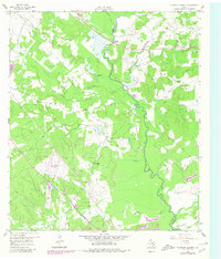
Editions of this 1959 Ferguson Crossing Map
Other maps of this area

1913 · Millican
USGS Topo · 1:31,680

1914 · Gay Hill
USGS Topo · 1:62,500

1914 · Navasota
USGS Topo · 1:62,500

1954 · Austin
USGS Topo · 1:250,000

1956 · Bryan
USGS Topo · 1:62,500

1956 · Carlos
USGS Topo · 1:62,500

1958 · Navasota
USGS Topo · 1:24,000

1959 · Millican
USGS Topo · 1:24,000

1959 · Clay
USGS Topo · 1:24,000

1959 · Reliance
USGS Topo · 1:24,000