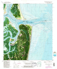
1981 Map of Fernandina Beach
USGS Topo · Published 1992About this map
Fort Clinch stands sentinel at the northern tip of Amelia Island, overlooking the complex confluence where the St Marys River meets the Atlantic Ocean. This orthophotomap provides a clear view of the deep-water St Marys Entrance and the critical maritime infrastructure of the early 1980s, including the Kings Bay Naval Submarine Support Base and the Intracoastal Waterway. The landscape transitions from the developed streets of Fernandina Beach to the historic grounds of Old Fernandina and the sprawling Fort Clinch State Park.
Find a feature on this map
34 named features on this map. Tap any name to fly to it.
Don’t see what you’re looking for? This feature index may not catch every label — zoom into the map to look around manually.
Map Details
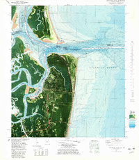
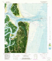
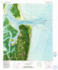
Editions of this 1981 Fernandina Beach Map
4 editions found
Other maps of this area

1918 · St Marys
USGS Topo · 1:62,500

1918 · Cumberland Island
USGS Topo · 1:62,500

1918 · Kingsland
USGS Topo · 1:62,500

1919 · Fernandina
USGS Topo · 1:62,500

1919 · St Marys
USGS Topo · 1:62,500

1930 · Cumberland Island
USGS Topo · 1:62,500

1944 · Fernandina
USGS Topo · 1:62,500

1945 · Cumberland Island
USGS Topo · 1:62,500

1948 · Jacksonville
USGS Topo · 1:250,000

1957 · Jacksonville
USGS Topo · 1:250,000