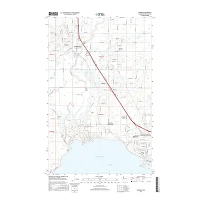
2017 Map of Ferndale
USGS Topo · Published 2017About this map
The Nooksack River winds through this coastal Whatcom County landscape, defining the transition from the city of Bellingham to the agricultural and tribal lands of the north. At the river's southern reaches, the Northwest Indian Coll and Lummi Nation Cem sit near the tidal marshes of Bellingham Bay and Puget Sound. The map illustrates the significant transportation corridor of the Pacific Hwy and the BNSF Railway, which bisect the region as they pass through Ferndale and past Barrett Lake. Numerous wetlands and sloughs, including Smuggler Slough and Tennant Lake, illustrate the complex hydrology of this low-lying area. Educational and public infrastructure is well-represented by the Bellingham Technical Coll and the expansive Bellingham International Airport, while local landmarks like the Nooksack River Bridge and Slater Road Bridge mark critical crossing points.
Find a feature on this map
87 named features on this map. Tap any name to fly to it.
Don’t see what you’re looking for? This feature index may not catch every label — zoom into the map to look around manually.
Map Details
Editions of this 2017 Ferndale Map
This is the sole edition of this map. No revisions or reprints were ever made.
Other maps of this area

1906 · Sumas
USGS Topo · 1:62,500

1907 · Blaine
USGS Topo · 1:62,500

1908 · Sumas
USGS Topo · 1:62,500

1918 · Samish Lake
USGS Topo · 1:62,500

1943 · Anacortes
USGS Topo · 1:62,500

1951 · Anacortes
USGS Topo · 1:62,500

1952 · Bertrand Creek
USGS Topo · 1:24,000

1952 · Lynden
USGS Topo · 1:24,000

1952 · Ferndale
USGS Topo · 1:24,000

1952 · Lummi Bay
USGS Topo · 1:24,000