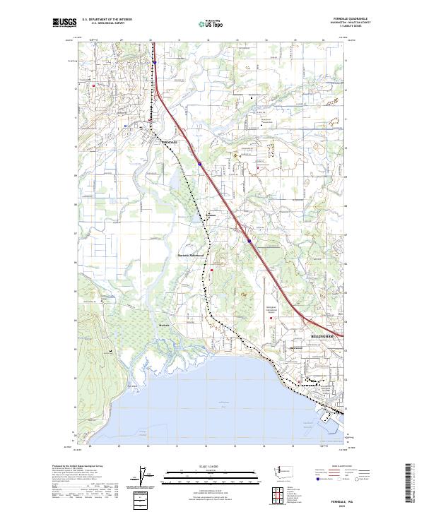
2023 Map of Ferndale
USGS Topo · Published 2023About this map
The Nooksack River winds through this coastal landscape, passing the established settlement of Ferndale and flowing toward the waters of Bellingham Bay. This modern survey illustrates the proximity of the BNSF Railway to the river's path, a transportation corridor that has defined local industry for decades. To the south, the northern reaches of Bellingham are visible, anchored by the Bellingham International Airport and its surrounding infrastructure.
Find a feature on this map
156 named features on this map. Tap any name to fly to it.
Don’t see what you’re looking for? This feature index may not catch every label — zoom into the map to look around manually.
Map Details
Editions of this 2023 Ferndale Map
This is the sole edition of this map. No revisions or reprints were ever made.
Other maps of this area

1906 · Sumas
USGS Topo · 1:62,500

1907 · Blaine
USGS Topo · 1:62,500

1908 · Sumas
USGS Topo · 1:62,500

1918 · Samish Lake
USGS Topo · 1:62,500

1943 · Anacortes
USGS Topo · 1:62,500

1951 · Anacortes
USGS Topo · 1:62,500

1952 · Bertrand Creek
USGS Topo · 1:24,000

1952 · Lynden
USGS Topo · 1:24,000

1952 · Ferndale
USGS Topo · 1:24,000

1952 · Lummi Bay
USGS Topo · 1:24,000