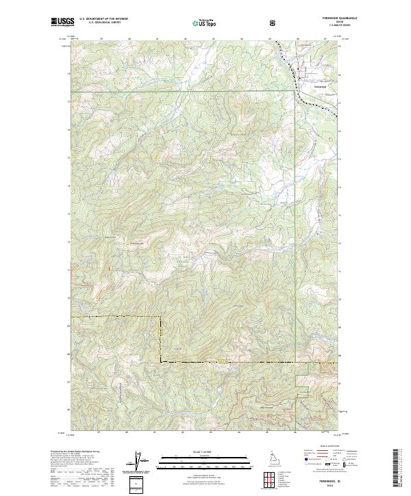
2024 Map of Fernwood
USGS Topo · Published 2024About this map
Fernwood serves as the primary settlement hub along the northern reaches of the Saint Maries River, where the Tyson Creek and Finn Creek drainages converge. This corner of the St Joe National Forest is defined by a dense network of timber and access roads, such as Little Carpenter Creek Rd and Tyson Creek Rd, which navigate a complex landscape of prominent summits. High points like Green Mtn, Willow Peak, and Nakarna Mtn oversee the transition from the river valley to the southern Hoodoo Mountains. Near the Latah County line, the map documents specialized recreation and resource routes including the Emerald Butte Ohv Trl and the Emerald Creek Cutoff Ohv Trl. These trails, along with features like Garnet Gulch, highlight a terrain deeply utilized for both industry and backcountry travel.
Find a feature on this map
52 named features on this map. Tap any name to fly to it.
Don’t see what you’re looking for? This feature index may not catch every label — zoom into the map to look around manually.
Map Details
Editions of this 2024 Fernwood Map
This is the sole edition of this map. No revisions or reprints were ever made.
Other maps of this area

1955 · Pullman
USGS Topo · 1:250,000

1955 · Spokane
USGS Topo · 1:250,000

1957 · Emida
USGS Topo · 1:62,500

1958 · Spokane
USGS Topo · 1:250,000

1958 · Pullman
USGS Topo · 1:250,000

1961 · Deary
USGS Topo · 1:62,500

1961 · Fernwood
USGS Topo · 1:62,500

1961 · Bovill
USGS Topo · 1:62,500

1981 · St Maries
USGS Topo · 1:100,000

1981 · Potlatch
USGS Topo · 1:100,000