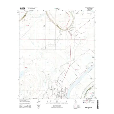
2015 Map of Ferriday North
USGS Topo · Published 2015About this map
Ferriday and the neighboring settlements of West Ferriday and Clayton anchor this corner of Concordia Parish, where the land is defined by the complex hydrology of the Mississippi delta region. The map reveals a landscape heavily influenced by historical river migrations, with features like Marengo Bend and Vidal Island illustrating the shifting course of the great river. Education is represented by the Louisiana Technical College-Shelby Jackson Campus, while regional transportation is supported by the Wayne Brown Airport and the smaller Summeryell Airport.
Find a feature on this map
98 named features on this map. Tap any name to fly to it.
Don’t see what you’re looking for? This feature index may not catch every label — zoom into the map to look around manually.
Map Details
Editions of this 2015 Ferriday North Map
This is the sole edition of this map. No revisions or reprints were ever made.
Other maps of this area

1909 · Sycamore Landing
USGS Topo · 1:24,000

1909 · Vidalia
USGS Topo · 1:24,000

1921 · Natchez
USGS Topo · 1:48,000

1922 · Natchez
USGS Topo · 1:62,500

1939 · Red Gum
USGS Topo · 1:62,500

1939 · Natchez
USGS Topo · 1:62,500

1939 · Locust Ridge
USGS Topo · 1:62,500

1941 · Sicily Island
USGS Topo · 1:62,500

1953 · Natchez
USGS Topo · 1:250,000

1956 · Natchez
USGS Topo · 1:250,000