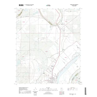
2018 Map of Ferriday North
USGS Topo · Published 2018About this map
The Tensas River meanders through the heart of the Mississippi Delta in this 2018 survey, defining the boundary between Catahoula and Concordia Parishes before flowing toward Clayton. The landscape is a complex network of bayous and wetlands, including Panola Brake, Kimball Bayou, and Shavins Bayou, which underscore the region's hydraulic character. To the south, the settlement of Ferriday serves as a primary hub, showing a grid of streets such as Louisiana Ave and the commemorative Mickey Gilley Dr.
Find a feature on this map
94 named features on this map. Tap any name to fly to it.
Don’t see what you’re looking for? This feature index may not catch every label — zoom into the map to look around manually.
Map Details
Editions of this 2018 Ferriday North Map
This is the sole edition of this map. No revisions or reprints were ever made.
Other maps of this area

1909 · Sycamore Landing
USGS Topo · 1:24,000

1909 · Vidalia
USGS Topo · 1:24,000

1921 · Natchez
USGS Topo · 1:48,000

1922 · Natchez
USGS Topo · 1:62,500

1939 · Red Gum
USGS Topo · 1:62,500

1939 · Natchez
USGS Topo · 1:62,500

1939 · Locust Ridge
USGS Topo · 1:62,500

1941 · Sicily Island
USGS Topo · 1:62,500

1953 · Natchez
USGS Topo · 1:250,000

1956 · Natchez
USGS Topo · 1:250,000