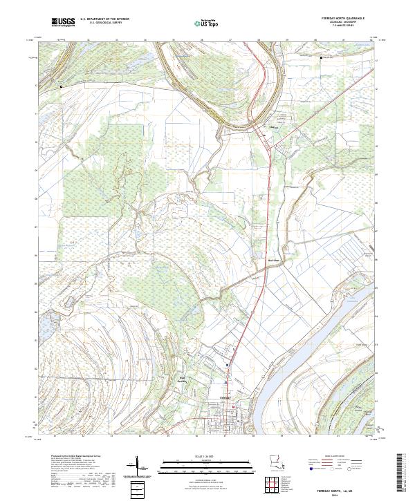
2024 Map of Ferriday North
USGS Topo · Published 2024About this map
Ferriday and the neighboring community of West Ferriday anchor this Mississippi River delta landscape, where the town street grid includes local identifiers like Mickey Gilley Dr and Texas Ave. The terrain is defined by its relationship to water, dominated by the sweeping curve of Lake Concordia and the intricate drainage of Tensas River, Panola Brake, and Opossum Bayou. This modern 2024 survey documents the dense network of parish roads and levees, such as the Dunbarton Levee Rd, which protect these low-lying settlements. To the north, the village of Clayton sits near the Catahoula and Concordia Parish line, surrounded by agricultural land and distinctive local markers like Calhoun Cem and the Summerell Airport. The map captures the interface between established residential zones and the natural hydrology of the bayous and oxbow lakes that shape life in this corner of Louisiana.
Find a feature on this map
81 named features on this map. Tap any name to fly to it.
Don’t see what you’re looking for? This feature index may not catch every label — zoom into the map to look around manually.
Map Details
Editions of this 2024 Ferriday North Map
This is the sole edition of this map. No revisions or reprints were ever made.
Other maps of this area

1909 · Sycamore Landing
USGS Topo · 1:24,000

1909 · Vidalia
USGS Topo · 1:24,000

1921 · Natchez
USGS Topo · 1:48,000

1922 · Natchez
USGS Topo · 1:62,500

1939 · Red Gum
USGS Topo · 1:62,500

1939 · Natchez
USGS Topo · 1:62,500

1939 · Locust Ridge
USGS Topo · 1:62,500

1941 · Sicily Island
USGS Topo · 1:62,500

1953 · Natchez
USGS Topo · 1:250,000

1956 · Natchez
USGS Topo · 1:250,000