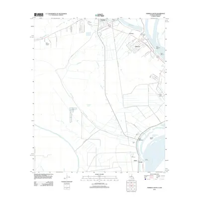
2012 Map of Ferriday South
USGS Topo · Published 2012About this map
Ferriday and the low-lying basins of Concordia Parish are defined by an intricate network of waterways including Bayou Cocodrie and Lake Concordia. This 2012 survey illustrates the settlement patterns of the Mississippi River floodplain, where roads like Mill Town Rd and Poole Rd navigate the wetlands. The transition from established neighborhoods in Ridgecrest and Sycamore to the river's edge reveals the importance of shoreline management, notably at the Marengo Bend Revetment. Several cemeteries, such as Turner Acres Cem and Saint James Cem, serve as critical points for local history and genealogical research. The presence of the Concordia Parish Airport and Delta Ultralight Airport highlights the region's modern infrastructure, while landings such as Sycamore Landing and Jeffries Landing connect the local economy to the Mississippi River at Saint Catherine Bend.
Find a feature on this map
58 named features on this map. Tap any name to fly to it.
Don’t see what you’re looking for? This feature index may not catch every label — zoom into the map to look around manually.
Map Details
Editions of this 2012 Ferriday South Map
This is the sole edition of this map. No revisions or reprints were ever made.
Other maps of this area

1909 · Sycamore Landing
USGS Topo · 1:24,000

1909 · Vidalia
USGS Topo · 1:24,000

1921 · Natchez
USGS Topo · 1:48,000

1922 · Natchez
USGS Topo · 1:62,500

1939 · Red Gum
USGS Topo · 1:62,500

1939 · Natchez
USGS Topo · 1:62,500

1939 · Kingston
USGS Topo · 1:62,500

1939 · Deer Park
USGS Topo · 1:62,500

1953 · Natchez
USGS Topo · 1:250,000

1956 · Natchez
USGS Topo · 1:250,000