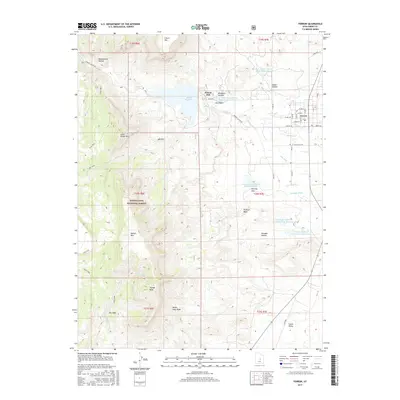
2017 Map of Ferron
USGS Topo · Published 2017About this map
The town of Ferron sits at the edge of the desert and the high plateau, serving as a gateway to the high elevations of the Manti-LaSal National Forest. In this 2017 study, the complex system of water management is clearly visible, with the Millsite Reservoir feeding several irrigation networks such as the King Ditch, Zwahlen Ditch, and Molen Ditch that sustain local agriculture. The western half of the map is dominated by significant peaks including S Horn Mtn, Little Nelson Mtn, and Nelson Mtn, while the Ferron Mill stands as a local landmark. A network of historic routes like the Blue Trail and Hole Trail winds through the terrain, suggesting the area's long-standing importance for movement between the San Rafael Swell and the Wasatch Plateau.
Find a feature on this map
50 named features on this map. Tap any name to fly to it.
Don’t see what you’re looking for? This feature index may not catch every label — zoom into the map to look around manually.
Map Details
Editions of this 2017 Ferron Map
This is the sole edition of this map. No revisions or reprints were ever made.
Other maps of this area

1885 · Manti
USGS Topo · 1:250,000

1885 · Fish Lake
USGS Topo · 1:250,000

1895 · Manti
USGS Topo · 1:250,000

1896 · Fish Lake
USGS Topo · 1:250,000

1922 · Wasatch
USGS Topo · 1:31,680

1923 · Castle Dale
USGS Topo · 1:62,500

1925 · Castle Dale
USGS Topo · 1:62,500

1925 · Acord Lakes
USGS Topo · 1:62,500

1953 · Emery 1 NE
USGS Topo · 1:24,000

1956 · Salina
USGS Topo · 1:250,000