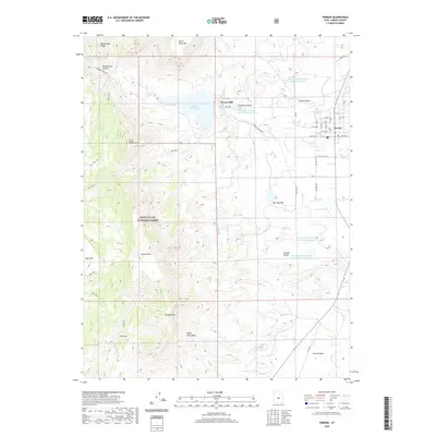
2020 Map of Ferron
USGS Topo · Published 2020About this map
Ferron and the adjacent Ferron Mill serve as the focal points of this settlement landscape in Emery County. The area’s agricultural and industrial life is defined by an intricate network of water management, visible in the Millsite Reservoir and several named irrigation channels like Molen Ditch, King Ditch, and Zwahlen Ditch. These features reflect the historic reliance on Ferron Cr for sustaining the local economy.
Find a feature on this map
37 named features on this map. Tap any name to fly to it.
Don’t see what you’re looking for? This feature index may not catch every label — zoom into the map to look around manually.
Map Details
Editions of this 2020 Ferron Map
This is the sole edition of this map. No revisions or reprints were ever made.
Other maps of this area

1885 · Manti
USGS Topo · 1:250,000

1885 · Fish Lake
USGS Topo · 1:250,000

1895 · Manti
USGS Topo · 1:250,000

1896 · Fish Lake
USGS Topo · 1:250,000

1922 · Wasatch
USGS Topo · 1:31,680

1923 · Castle Dale
USGS Topo · 1:62,500

1925 · Castle Dale
USGS Topo · 1:62,500

1925 · Acord Lakes
USGS Topo · 1:62,500

1953 · Emery 1 NE
USGS Topo · 1:24,000

1956 · Salina
USGS Topo · 1:250,000