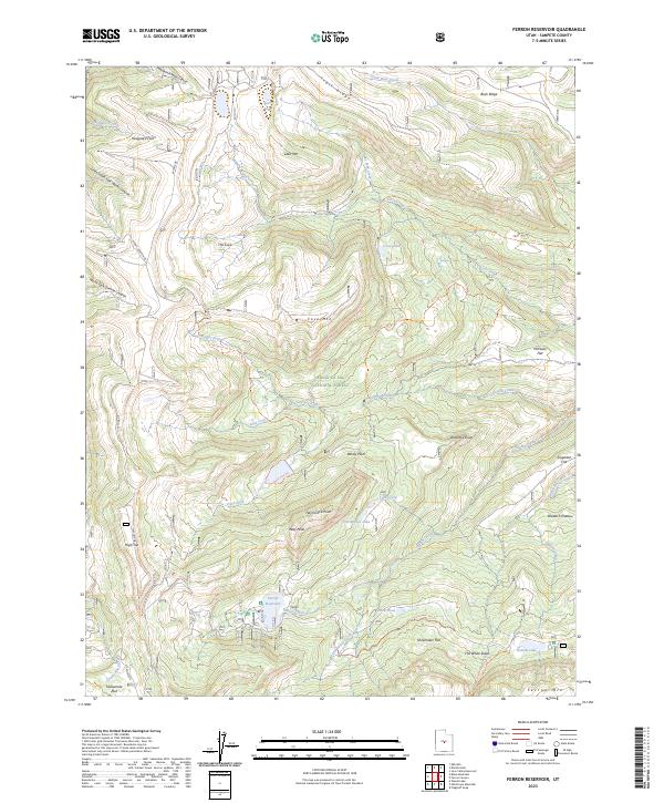
2023 Map of Ferron Reservoir
USGS Topo · Published 2023About this map
The Manti-La Sal National Forest dominates this high-altitude landscape, where the summit of High Top stands as a prominent landmark along the Wasatch Plateau. The 2023 survey illustrates a complex hydrological network centered around the Ferron Reservoir, which feeds into Indian Creek and Little Horse Creek. This area is defined by its dramatic topography, featuring deep canyons like Middle Fork Manti Canyon and high points such as Petty Peak and Cove Mtn.
Find a feature on this map
50 named features on this map. Tap any name to fly to it.
Don’t see what you’re looking for? This feature index may not catch every label — zoom into the map to look around manually.
Map Details
Editions of this 2023 Ferron Reservoir Map
This is the sole edition of this map. No revisions or reprints were ever made.
Other maps of this area

1885 · Manti
USGS Topo · 1:250,000

1895 · Manti
USGS Topo · 1:250,000

1922 · Wasatch
USGS Topo · 1:31,680

1956 · Price
USGS Topo · 1:250,000

1960 · Price
USGS Topo · 1:250,000

1962 · Price
USGS Topo · 1:250,000
1965 · Woods Lake
USGS Topo · 1:24,000

1965 · Black Mountain
USGS Topo · 1:24,000
1966 · Ferron Reservoir
USGS Topo · 1:24,000
1966 · Heliotrope Mtn
USGS Topo · 1:24,000