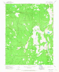
1965 Map of Woods Lake
USGS Topo · Published 1967About this map
Woods Lake sits at the heart of this high-elevation wilderness where the Sanpete Co and Sevier Co border crosses through the southern reaches of the Manti-La Sal National Forest. The landscape is defined by its drainage systems, from Twelvemile Creek and the South Fork in the north to the headwaters of Salina Creek in the south. High-country infrastructure is sparse but present, reflected in the remote Whitlock Cabin and Cowboy Camp, alongside recreational markers like Pinchot Campground.
Find a feature on this map
48 named features on this map. Tap any name to fly to it.
Don’t see what you’re looking for? This feature index may not catch every label — zoom into the map to look around manually.
Map Details
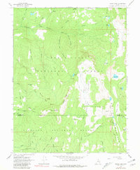
Editions of this 1965 Woods Lake Map
2 editions found
Other maps of this area

1885 · Manti
USGS Topo · 1:250,000

1885 · Fish Lake
USGS Topo · 1:250,000

1895 · Manti
USGS Topo · 1:250,000

1896 · Fish Lake
USGS Topo · 1:250,000

1922 · Wasatch
USGS Topo · 1:31,680

1925 · Acord Lakes
USGS Topo · 1:62,500

1956 · Salina
USGS Topo · 1:250,000

1956 · Price
USGS Topo · 1:250,000

1960 · Price
USGS Topo · 1:250,000

1960 · Salina
USGS Topo · 1:250,000