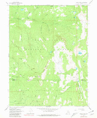
1965 Map of Woods Lake
USGS Topo · Published 1981About this map
Gunnison Valley dominates the central landscape of this mid-1960s survey, marking a significant transition between the Manti-La Sal National Forest and Fishlake National Forest. The map captures a high-elevation backcountry characterized by a complex network of ridgelines and alpine waters, including the namesake Woods Lake and the Three Lakes cluster. Human presence is sparse and focused on seasonal use, evidenced by locations like Pinchot Campground, Cowboy Camp, and Whitlock Cabin. The high-country infrastructure is defined by Skyline Drive, which follows the spine of the mountains, and numerous pack trails that navigate the steep terrain around Porcupine Ridge and Dead Horse Ridge. Notable peaks such as Marys Nipple and Mt Baldy serve as prominent landmarks for navigation in this roadless expanse where the boundary between Sanpete and Sevier counties crosses the rugged divide.
Find a feature on this map
50 named features on this map. Tap any name to fly to it.
Don’t see what you’re looking for? This feature index may not catch every label — zoom into the map to look around manually.
Map Details
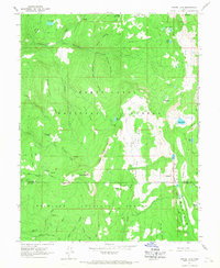
Editions of this 1965 Woods Lake Map
2 editions found
Other maps of this area

1885 · Manti
USGS Topo · 1:250,000

1885 · Fish Lake
USGS Topo · 1:250,000

1895 · Manti
USGS Topo · 1:250,000

1896 · Fish Lake
USGS Topo · 1:250,000

1922 · Wasatch
USGS Topo · 1:31,680

1925 · Acord Lakes
USGS Topo · 1:62,500

1956 · Salina
USGS Topo · 1:250,000

1956 · Price
USGS Topo · 1:250,000

1960 · Price
USGS Topo · 1:250,000

1960 · Salina
USGS Topo · 1:250,000