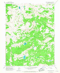
1966 Map of Ferron Reservoir
USGS Topo · Published 1968About this map
The Manti-La Sal National Forest dominates this mid-1960s survey, revealing a high-altitude landscape defined by drainage basins and summer reservoirs. The Indian Creek Administrative Site (USFS) serves as a focal point for forest management near the prominent Ferron Reservoir. The map illustrates the careful water management of the era through features like Duck Fork Reservoir and Jet Fox Reservoir, which are connected by a network of trails and unimproved roads.
Find a feature on this map
51 named features on this map. Tap any name to fly to it.
Don’t see what you’re looking for? This feature index may not catch every label — zoom into the map to look around manually.
Map Details
Editions of this 1966 Ferron Reservoir Map
This is the sole edition of this map. No revisions or reprints were ever made.
Other maps of this area

1885 · Manti
USGS Topo · 1:250,000

1895 · Manti
USGS Topo · 1:250,000

1922 · Wasatch
USGS Topo · 1:31,680

1956 · Price
USGS Topo · 1:250,000

1960 · Price
USGS Topo · 1:250,000

1962 · Price
USGS Topo · 1:250,000
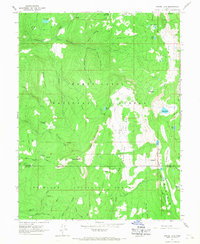
1965 · Woods Lake
USGS Topo · 1:24,000

1965 · Black Mountain
USGS Topo · 1:24,000
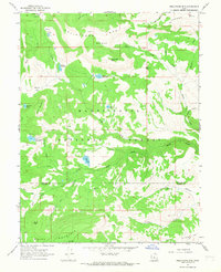
1966 · Heliotrope Mtn
USGS Topo · 1:24,000
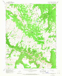
1966 · Flagstaff Peak
USGS Topo · 1:24,000