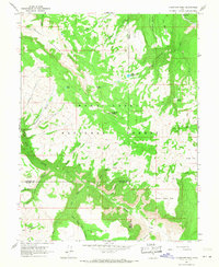
1966 Map of Flagstaff Peak
USGS Topo · Published 1968About this map
Flagstaff Peak stands as the central landmark of this mid-1960s survey, where the borders of Sanpete, Emery, and Sevier counties converge in the Manti-La Sal National Forest. The landscape is defined by high-elevation drainage systems, including Muddy Creek and the headwaters of the East Fork Box Canyon. Evidence of early infrastructure and resource use is present at the Mine Tramway and the remote Jason Cabin, which sits near Jason Gulch. Water management for the surrounding basins is reflected in the Wrigley Springs Reservoir and smaller features like Blue Lake. The map details a complex system of canyon topography, such as The Box and The Troughs, alongside localized grazing or transit areas like The Pines and South Sage Flat, providing a clear view of the high-country activity before modern expansion.
Find a feature on this map
43 named features on this map. Tap any name to fly to it.
Don’t see what you’re looking for? This feature index may not catch every label — zoom into the map to look around manually.
Map Details
Editions of this 1966 Flagstaff Peak Map
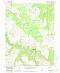
2 editions found
Other maps of this area

1885 · Manti
USGS Topo · 1:250,000

1885 · Fish Lake
USGS Topo · 1:250,000

1895 · Manti
USGS Topo · 1:250,000

1896 · Fish Lake
USGS Topo · 1:250,000

1922 · Wasatch
USGS Topo · 1:31,680

1923 · Castle Dale
USGS Topo · 1:62,500

1925 · Castle Dale
USGS Topo · 1:62,500

1925 · Acord Lakes
USGS Topo · 1:62,500

1956 · Salina
USGS Topo · 1:250,000

1956 · Price
USGS Topo · 1:250,000