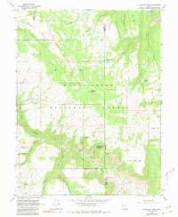
1966 Map of Flagstaff Peak
USGS Topo · Published 1980About this map
Flagstaff Peak towers over this high-elevation landscape in the Manti-La Sal National Forest during the mid-1960s, a region defined by its water resources and industrial outposts. The map documents a rugged interior where three counties — Sanpete, Emery, and Sevier — converge across a network of deep drainage systems like Meadow Gulch Creek and The Box Canyon. Evidence of early 20th-century labor is visible at the Mine Tramway located near Lost Water Spring, while remote habitations like Jason Cabin suggest a history of seasonal ranching or prospecting. Water management is a central theme, evidenced by the Wrigley Springs Reservoir and numerous named springs such as Birch Spring and Wrigley Spring, which supported livestock and travelers navigating the various pack trails and jeep tracks that cross the high plateaus.
Find a feature on this map
47 named features on this map. Tap any name to fly to it.
Don’t see what you’re looking for? This feature index may not catch every label — zoom into the map to look around manually.
Map Details
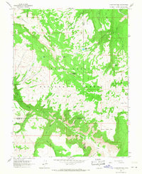
Editions of this 1966 Flagstaff Peak Map
2 editions found
Other maps of this area

1885 · Manti
USGS Topo · 1:250,000

1885 · Fish Lake
USGS Topo · 1:250,000

1895 · Manti
USGS Topo · 1:250,000

1896 · Fish Lake
USGS Topo · 1:250,000

1922 · Wasatch
USGS Topo · 1:31,680

1923 · Castle Dale
USGS Topo · 1:62,500

1925 · Castle Dale
USGS Topo · 1:62,500

1925 · Acord Lakes
USGS Topo · 1:62,500

1956 · Salina
USGS Topo · 1:250,000

1956 · Price
USGS Topo · 1:250,000