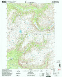
1996 Map of Ferry Lake
USGS Topo · Published 1998About this map
Yellowstone River headwaters and the high-elevation drainage systems of the Continental Divide characterize this wilderness survey along the Park and Fremont County line. The map captures a high alpine landscape where the Soda Fork Trail provides the primary human trace through the Teton National Forest and Teton Wilderness. Hydrological features are the defining landmarks here, from the namesake Ferry Lake and the nearby Lake Falls to the clustered Blue Lakes and Angle Lakes. To the south, the expansive Buffalo Plateau overlooks Pendergraft Meadow and Pendergraft Peak, illustrating the complex topography of the Buffalo Fork and South Fork Buffalo River. This late-twentieth-century revision reflects the enduring isolation of these protected lands, preserving the nomenclature of early explorers and surveyors.
Find a feature on this map
23 named features on this map. Tap any name to fly to it.
Don’t see what you’re looking for? This feature index may not catch every label — zoom into the map to look around manually.
Map Details
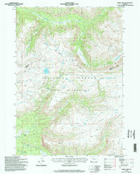
Editions of this 1996 Ferry Lake Map
2 editions found
Other maps of this area

1885 · Lake
USGS Topo · 1:125,000

1893 · Ishawooa
USGS Topo · 1:125,000

1895 · Ishawooa
USGS Topo · 1:125,000

1895 · Lake
USGS Topo · 1:125,000

1896 · Lake
USGS Topo · 1:125,000

1899 · Ishawooa
USGS Topo · 1:125,000

1901 · Lake
USGS Topo · 1:125,000

1902 · Mt Leidy
USGS Topo · 1:125,000

1905 · Younts Peak
USGS Topo · 1:125,000

1906 · Lake
USGS Topo · 1:125,000